Rainfall probability radar images
Time measurement on all radar and satellite images is given in Coordinated Universal Time UTC (except where noted).
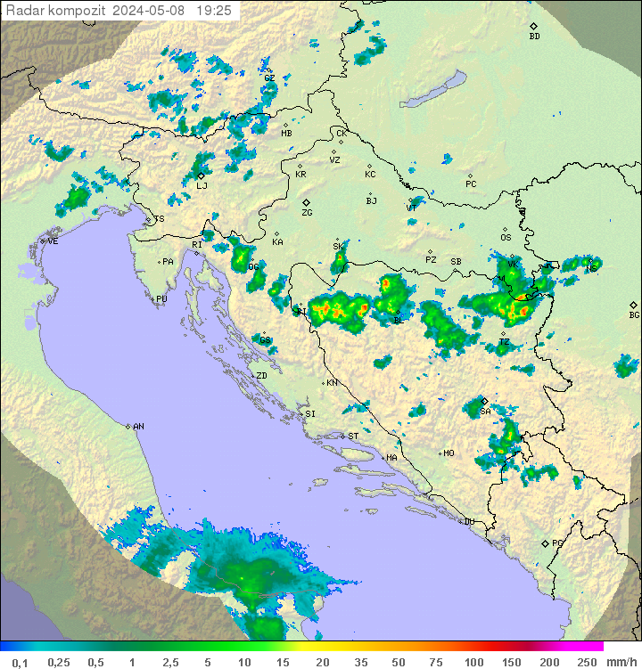
Relevant official (local) time is one hour (in winter) or two hours (summer) higher. Pictures are made on the basis of current data of meteorological radars and are dependent on the availability of radar measurements of a national network of meteorological stations. There are coloured areas which indicate the likelihood of occurrence of rainfall at the given time
The map showing live lightning strikes will open in a new window or tab.
Data source: Lightningmaps.org
Northern Adriatic
ARSO manages the meteorological radars at Lisca and Pasja level. Chance of precipitation according to the color in the picture:
BLUE - very small, GREEN - small, YELLOW - detectable, ORANGE - medium, RED - large, PURPLE - very large, thunderstorms, hail

Central and southern Adriatic
DHMZ operates several radars. The meaning of the colors in the picture or animations:
GRAY - Slight, BLUE - Moderate, GREEN - Medium, Chance of Thunderstorms, YELLOW - Major, Thunderstorms, RED - Very Major, Thunderstorms, Hail